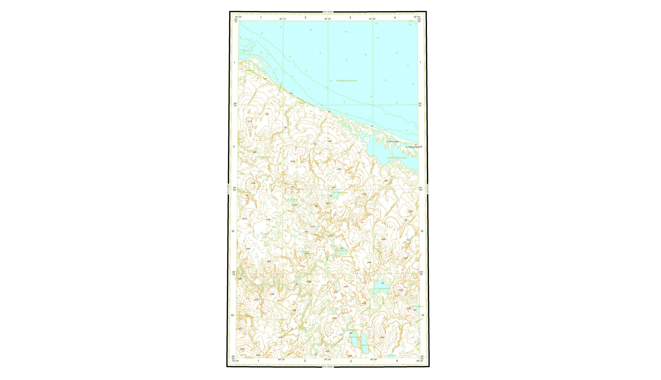
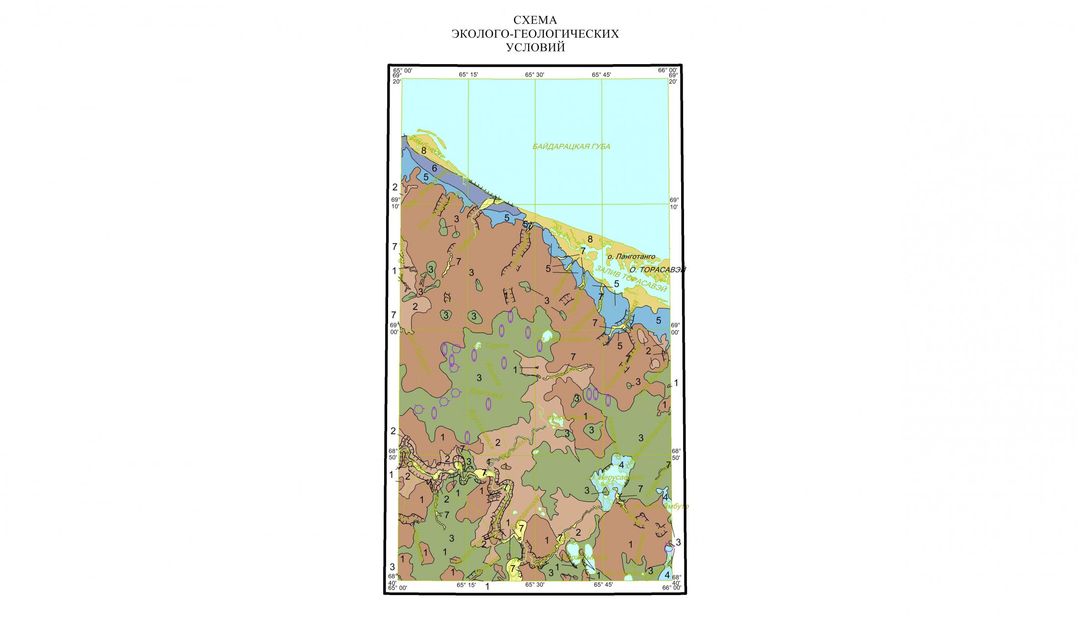
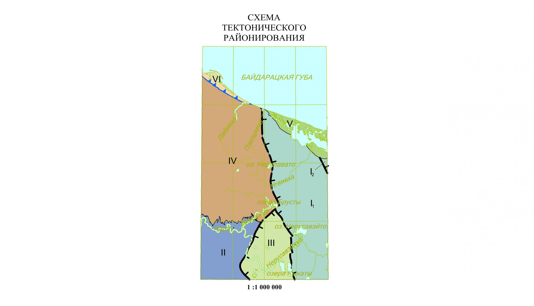
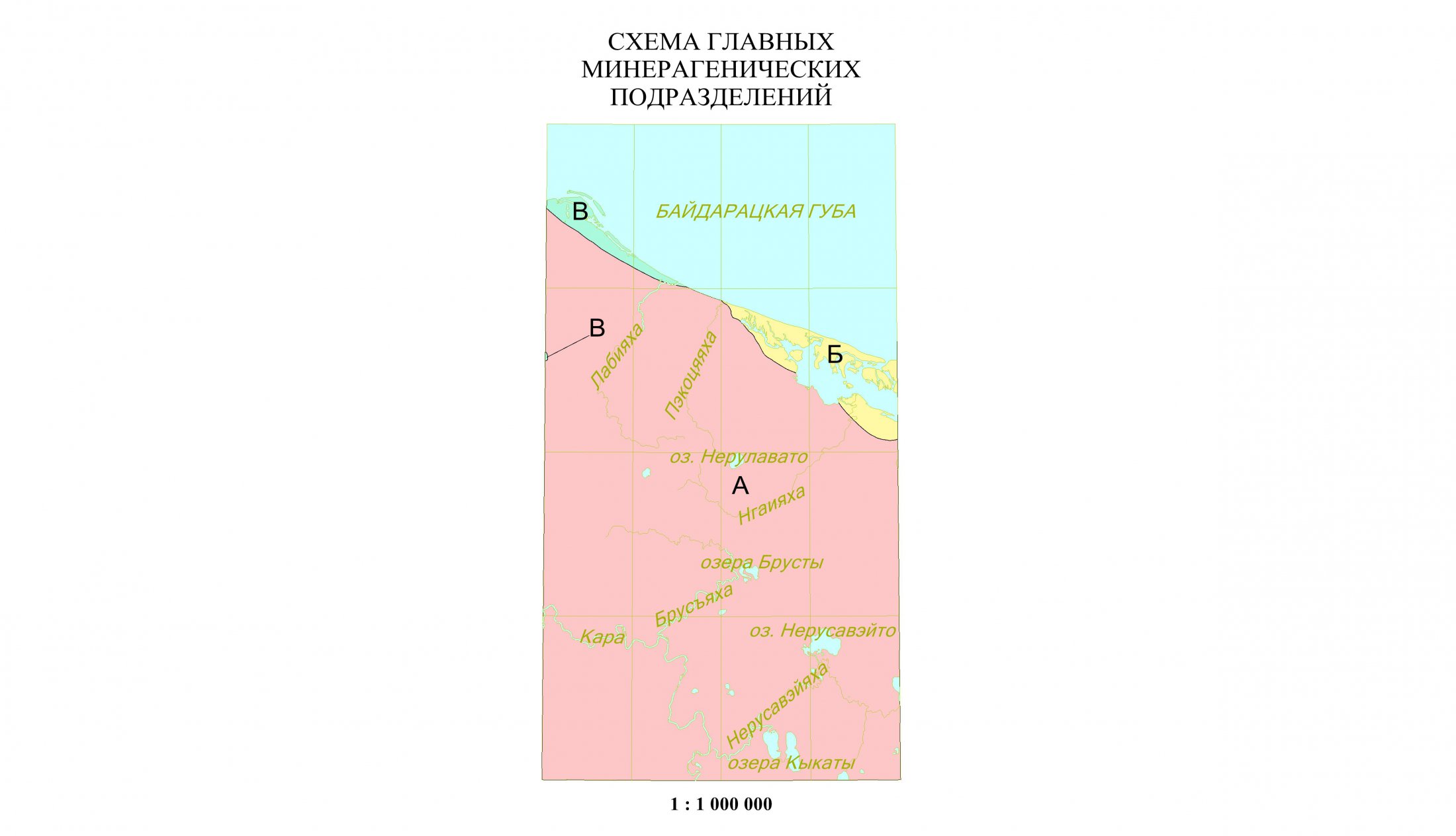
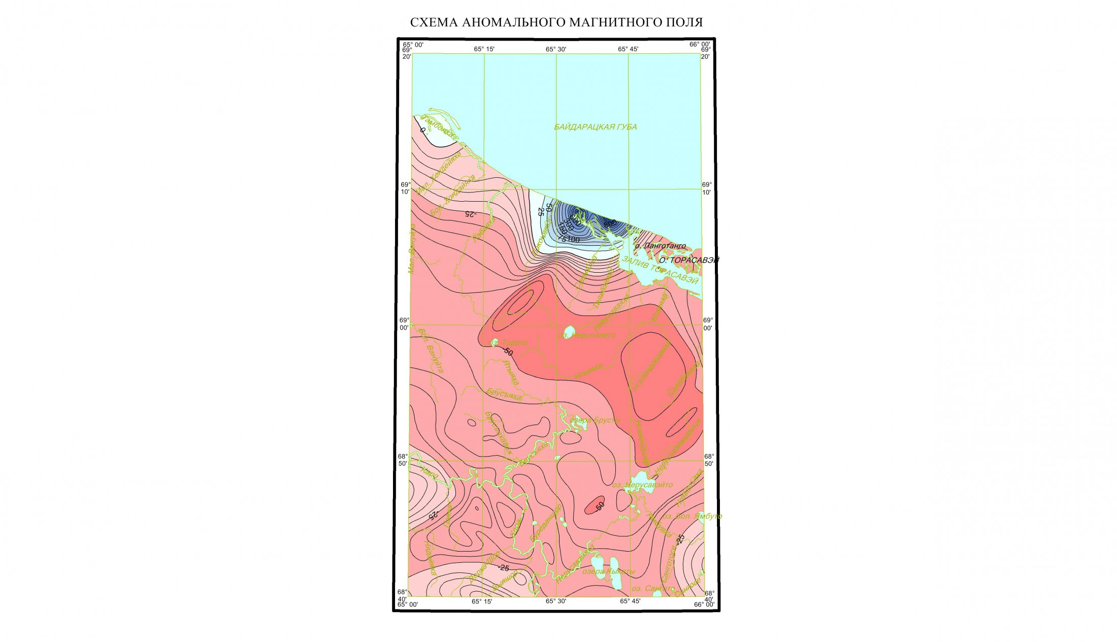
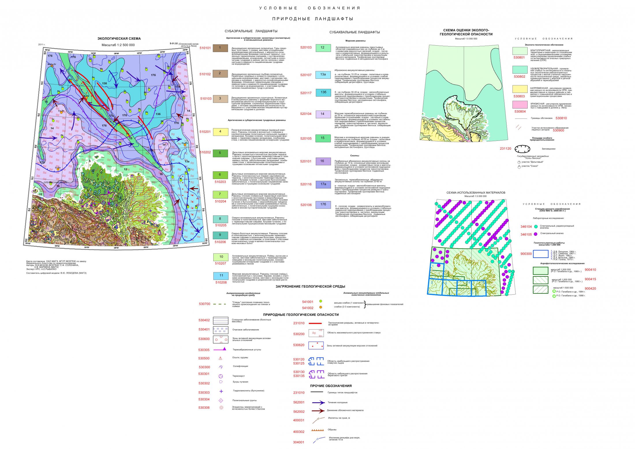
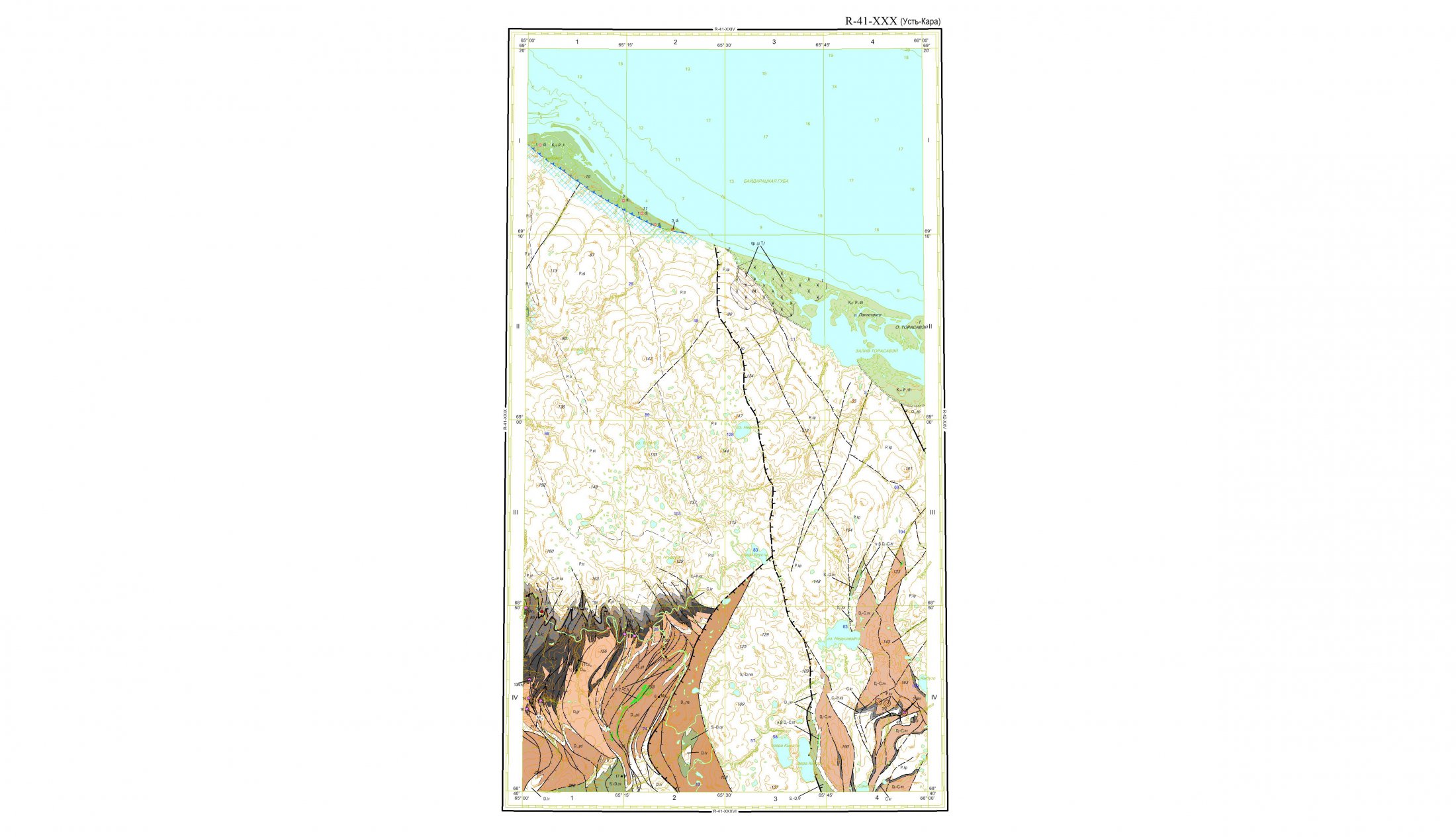
The block GIS INTEGRO Geolmap includes the tools for the compilation of consistent digital models of geological maps and for their preparation for publication. The capabilities of the block permit to work with data formats and structures adopted by the Scientific Editorial Board (SEB), to compile GIS project according to the structure approved by SEB in SHP format and to use the technology of the generalization of map objects (merging, smoothing, simplification etc.) taking into account the peculiarities of geological conditions. The technology for preparation and layout of geological maps implemented in the block is recommended for application in geological surveying of 1:200000 scale, for the compilation of State Geological Maps of 1:200000 and 1:1000000 scale and for the submission of final results for the publication at SEB of Federal Agency for Subsoil Use.
Extended possibilities for the compilation of geological maps
Automatic compilation of file structure of State Geological Map set
Automatic download of all the components of the State Geological Map sheets set of 1:200000 and 1:1000000 scale executed according to the standards of Federal Agency for Subsoil Use
Special module for the compilation of working legend of the map
Generation and editing of the indexes according to the formatting regulations of Russian Geological Research Institute
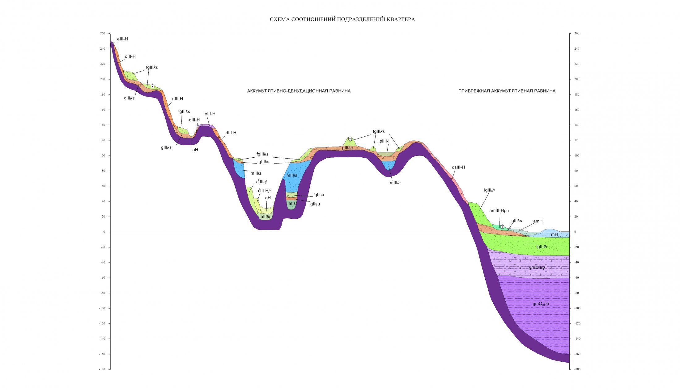
Automatic formation of templates for geological cross sections
Use of standard symbol database of Russian Geological Research Institute for geological maps layout, use of oriented dotty styles
Automatic generation of all the elements of geological map layout according to the recommendations for State Geological Map sets preparation (graduated scale, stratigraphic column, zonal legend)
Entire sheet set of State Geological Map in one project
The following works give the examples of application of GIS INTEGRO for the preparation of geological maps:
- Set of the state geological maps 200/2, sheet R-41-XXX (Ust-Kara area) – Methodology Department of Russian Geological Research Institute.
- Sets of state geological maps 1000/3, sheets N-39 (Kazan), М-39 (Uralsk) – Russian Geological Research Institute.
- Schemes of the deep structure and structural-petrography schemes of the basement for the sets of the state geological maps 1000/3, sheets O-37 (Yaroslavl), N-38 (Penza), N-39 (Kazan), M-39 (Uralsk) – Russian Geological Research Institute.
- 3D model of the sedimentary mantle and the schemes of structural-facial zoning for the sets of the state geological maps 1000/3, sheet O-37 (Yaroslavl) – Russian Geological Research Institute.
- Scheme of the deep structure and structural-petrography schemes of the basement for the set of the state geological map 1000/3, sheet O-39 (Izhevsk) – Russian Geological Research Institute.
- Set of preliminary data for the deep structure and basement schemes within the sheets P-47,-48,-49,-50,-51 and Q-47,-48,-49,-50,-51 – VNIIgeosystem.


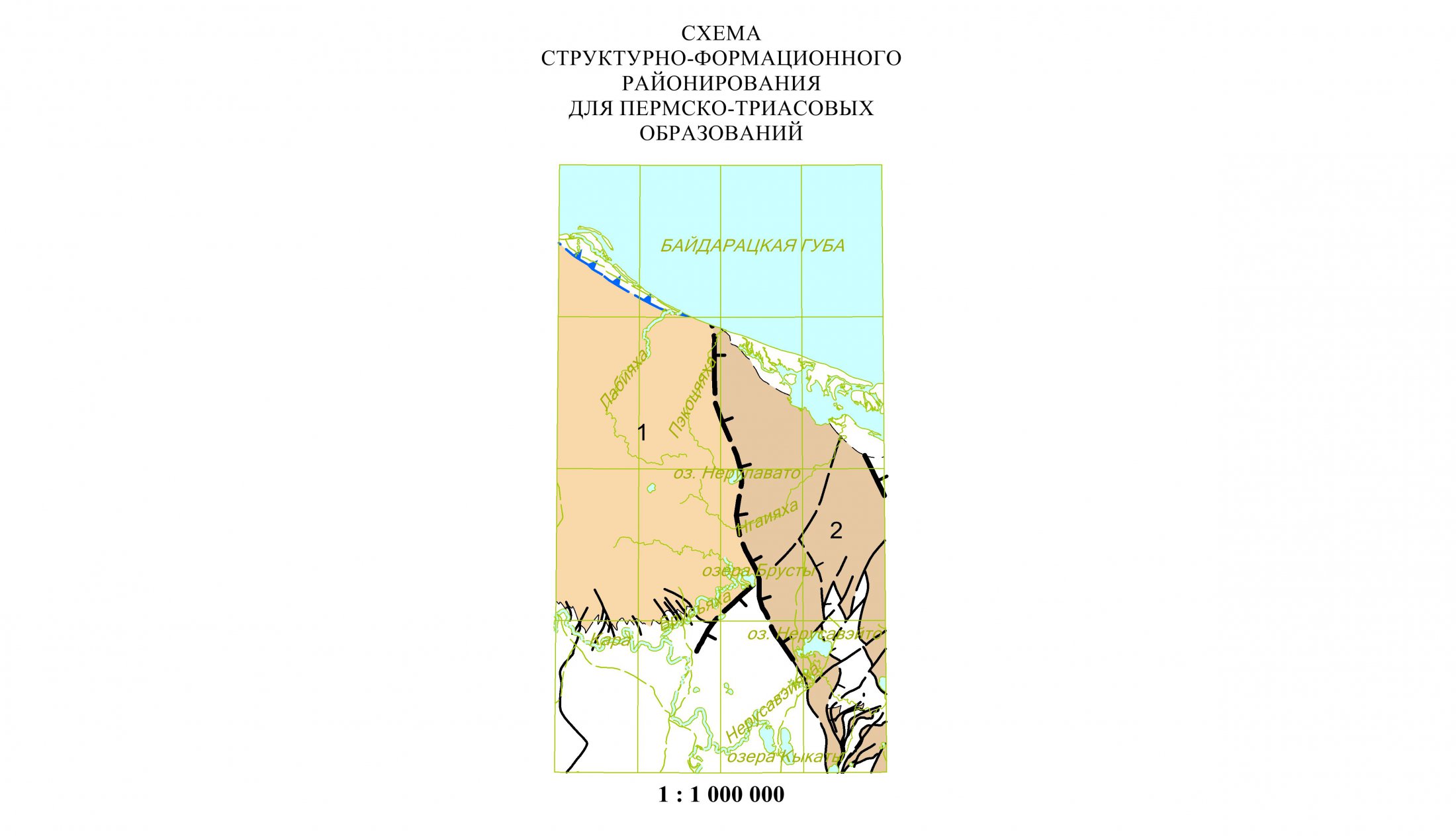


In view of the results of the experimental use of GIS INTEGRO as a software environment the Bureau of the Scientific Editorial Board of Federal Agency for Subsoil Use has recommended its use for application in geological surveying of 1:200000 scale, for the compilation of State Geological Maps of 1:200000 and 1:1000000 scale and for the submission of final results for the publication at SEB of Federal Agency for Subsoil Use (record of proceedings No. №37, 20.11.2014).

