The block GIS INTEGRO Forecast contains analytical tools for solving the tasks of territory thematic zoning on the basis of the complex of its spatial characteristics: the subsoil resources forecast and the search of perspective territories, the isolation of blocks on the basis of gravity and magnetic data, the landscape interpretation of multispectral imagery and so on.
The analytical tools allow to perform:
Formal analysis of data quality: distribution analysis, properties correlation matrix, variability analysis, analysis of standards
Factor, structural and regression analysis
Taxonomy: k-means, by criteria, by holotypes, by hierarchy
Classification with training: discriminant analysis, Holotype algorithms, evaluation of the similarity to the standard
The block is provided with user-friendly interface for the implementation of the main methodological stages of geological prognostic tasks definition and solution
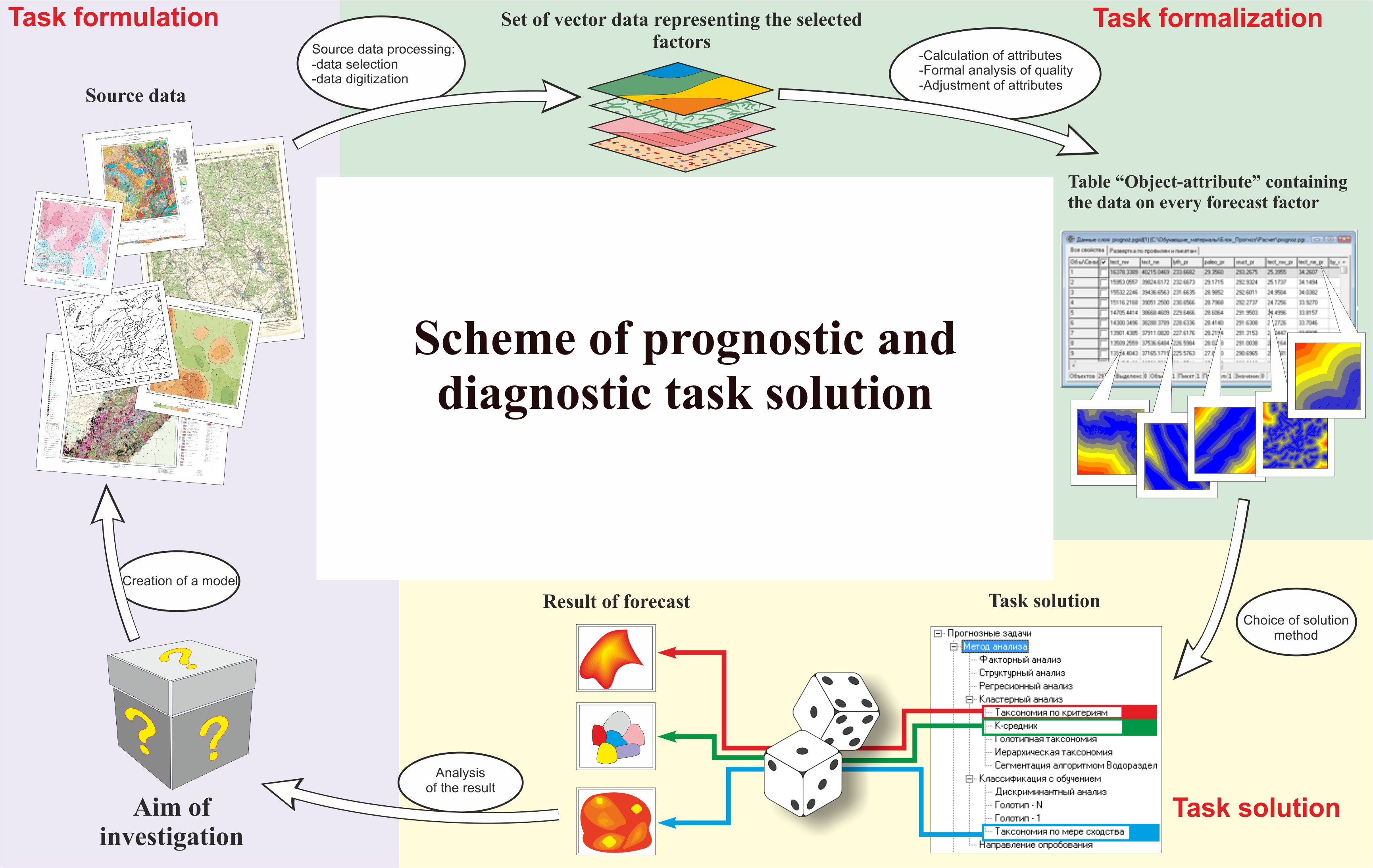
At the first stage of the task solution the aim of the investigation should be formulated. Next the factors are chosen which determine the prognostic and diagnostic attributes of the phenomenon under analysis.
Maps, field data, tables, images and any other information on the territory under study could be used as source data.
At the next stage it is necessary to digitalize the data that will be used for the calculation of the prognostic and diagnostic attributes of the model, to reduce them to common cartographic projection and to upload them to the scene of the GIS project.
The forecast block INTEGRO operates with data presented in the form of regular grid. All the attributes under analysis should be calculated into one table “Object-attribute” (TOA) on the basis of the chosen formalization methods. The cell size for TOA calculation is defined on the basis of the required object size or on the basis of the expected accuracy of the estimation of the phenomenon under analysis.
The completeness, interdependence and consistency of the prepared attributes set is checked using the algorithms of data quality formal analysis in order to obtain a high-quality result. At this stage the attributes can be transformed to improve the operation of the taxonomy algorithms.
Several categories of taxonomy algorithms are represented in the forecast block; the choice of solution method depends on the type of selected attributes, model and researcher’s personal preferences.
The last stage consists of the interpretation of obtained prognostic and diagnostic assessment and of the comparison of the obtained result with the assessment criteria formulated at the first stage of the task solution.
Tasks realized on the basis of the forecast block:
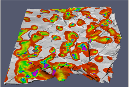
Solid minerals (uraniusm, gold) forecast - R-48-XI,XII,XVI,XVII,XXII, R-51,52
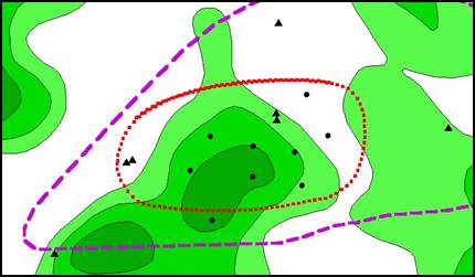
Raw hydrocarbons forecast - the Rostov region (Markovskoe, Patronovskoe, Leonovskoe, Tishkinskoe deposits)
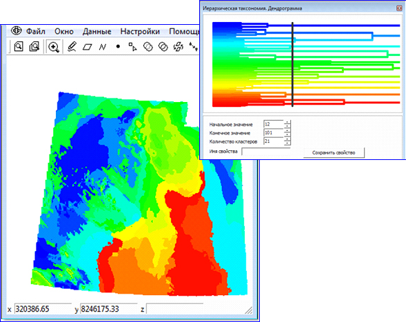
Isolation of blocks on the basis of gravity and magnetic data:
- Structural and tectonic territory zoning for the aims of geological mapping, forecast and model building of subsurface sites (Ural, Yakutia, Siberia)
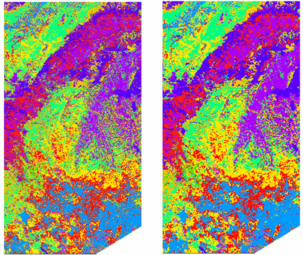
Thematic interpretation of multispectral imagery:
- Delineation of prospective hydrocarbon basins boundaries and creation of structural and tectonic scheme of the territory on the basis of MODIS and LANDSAT data (the Magadan region), clarification of the structural and tectonic frame of the territory (Khatanga)
