The main block of GIS INTEGRO provides all necessary tools for the cartographic works and the creation of GIS projects and cartographic databases. The main block allows to accomplish the following tasks:
Collection of source data on the areas under study
Digitalizing and cartographic linking of maps, profiles, sections, borehole logs
Systematization and cataloging the data
Creation of matched arrays of spatial data for their processing and complex interpretation (maps, profiles, wells, 2D and 3D models)
Layout and printing of working materials
The working vector format is the standard shape-file; the complex supports operations with all known raster formats. Specific original format TOC is used for the work with regular webs. Moreover, the complex supports the operations with most popular geological formats and standards (LAS, SEGY) and includes import/export tools for the formats of well-known geoinformation systems. GIS INTEGRO also supports web-services WxS for including the data from Internet resources into the GIS project; it also can be used as GIS server for the web publication of data, interactive maps and 3D models.
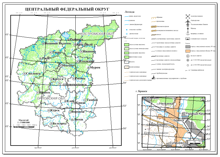
For the purposes of information problems solving the team of VNIIgeosystem has depeloped an integrated unified multi-scale cartographic base for Russian Federation as a part of the GIS INTEGRO environment. The materials of cartographic bases of Russian Federal Geological Fund and Russian Geological Research Institute were used as data sources. The cartographic base is designed as a GIS project; also web-services are available for remote use of the cartographic base and other resources in different GIS projects. At present the following data packages are ready: Far Eastern Federal District (1:1000000 scale), Volga Federal District (1:1000000 – 1:200000 scale), Northwestern Federal District (1:1000000 scale), Siberian Federal District (1:1000000 scale), Ural Federal District (1:1000000 scale), Central Federal District (1:1000000 – 1:25000 scale), the territory of Crimean peninsula (1:1000000 – 1:200000 scale).
Examples of the projects realized in GIS INTEGRO

FSBU All-Russian Research Geological Oil Institute
Compilation of a unified GIS project for the quantitative estimate of hydrocarbon resources on regional and federal level:
- State of seismic and boring exploration of the area
- Deposits and oil and gas show structures
- Oil and gas geological zoning
- Databank of standards and the massive of geological information on them
- Initial summary hydrocarbon resources within the boundaries of each element of oil and gas geological zoning
- Retrospective data on the quantitative estimate of hydrocarbon resources for 2009 – 2012.
The participants of the work: All-Russian Research Institute of the World Ocean Geology and Mineral Resources, West Siberian Research Institute of Geology and Geophysics, Institute of Petroleum Geology and Geophysics, Lower Volga Research Institute of Geology and Geophysics, Siberian Research Institute of Geology, Geophysics and Minerals, All-Russian Petroleum Research Exploration Institute, Siberian Scientific Analytical Centre, Novosibirsk and Sankt-Peterburg branches of All-Russian Research Geological Oil Institute

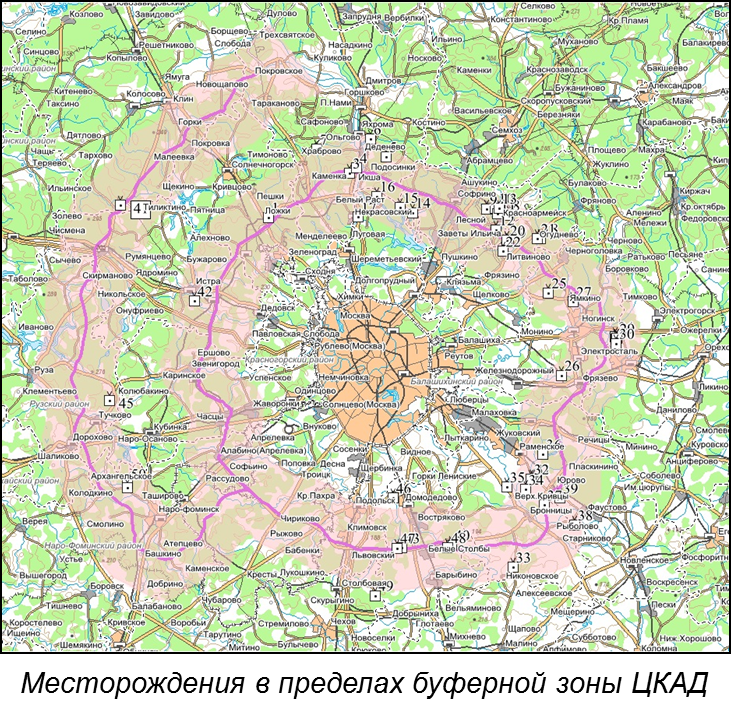
Territorial Bank of Geological Data for the Central Federal District:
- maintenance of cartographic databases and arrays of information (forecast districts and areas, subsoil areas of local importance)
- actualization of deposit limits on the basis of scanned plans and schemes
- preparation of certificates and expertise on the subsoil areas requested by subsoil users, including the control of their limits positions
- preparation of analytical cartographic materials requested by geological organizations

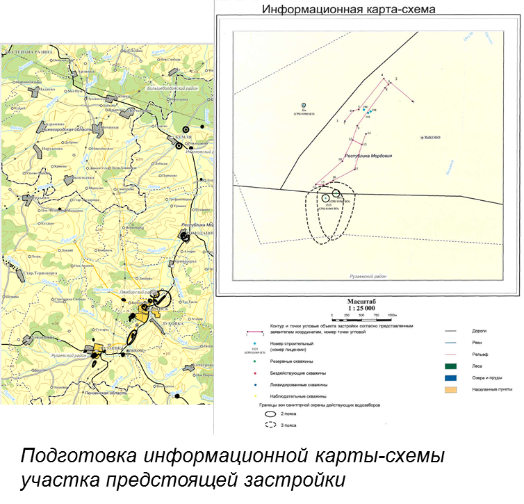
Mordovia Branch of Territorial Bank of Geological Data for the Volga Federal District (as part of program approbation):
- Creation of a cartographic database for protective sanitary zones of underground water deposits and their districts
- Creation of a cartographic database for the objects of deposits cadastral registration
- Preparation of large-scale information base maps for the units of the Federal District
