GIS INTEGRO is an innovative cartographic geoinformation system with enhanced capabilities for geological tasks solving.
GIS INTEGRO is entirely Russian product created by a team of researchers from the Geoinformatics laboratory of FGUP GNC RF VNIIgeosystem in 1998 - 2015. As a result of a reorganization of our enterprise the development and support of the system is now provided by the Geoinformatics department of FSBI VNIGNI.
GIS INTEGRO represents innovative algorithms of geological data presentation and processing, original scientific, methodological and technological approaches to the subject-specific task solving, and practical work experience in standard geoinformation packages.
The concept of data handling in GIS INTEGRO is aligned as much as possible with the concept of ESRI software packages as they are the most widely used products in geological field. This fact greatly facilitates the use of GIS INTEGRO as an import-substituting software for geodata handling.
We do our best for facilitating the work with GIS INTEGRO by our users. That is why we are constantly broadening the functionality and improving the user's interface of our software complex taking into account the comments and wishes of the users of GIS INTEGRO.
The specialists of our support service are always ready to answer any questions relating to GIS INTEGRO: support@gis-integro.ru
Focus on the tasks
Full set of instruments
Standard formats of geodata
User-friendly interface
Simple installation
Support
Possibilities of GIS INTEGRO
Visualization of geological data in 1D/2D/3D
Cartographic linking of rasters and vectors
Compilation and editing of vector data with the support of intra- and interlayer topology
Semiautomatic vectorization
Operations with regular and irregular grids
Spatial analysis of vectors and surfaces
Layout and printing of cartographic materials
Web publication and distribution of the data
Multiscreen interface with picture synchronization by surface and by depth
Download of specialized formats (SEGY, LAS)
Advanced block or prognostic and diagnostic problems solving
Analytic apparatus for gravimagnetic data processing
Compilation and processing of 3D models (cubes)
Automatic compilation of cross-sections
Wells data processing
Tools for the compilation and layout of geological maps according to the requirements of the Scientific Editorial Board of Federal Agency for Subsoil Use
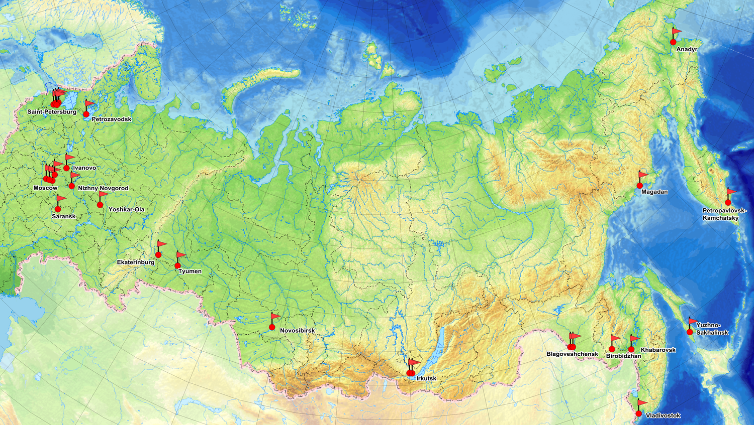
We are well-known all over Russia

Our Team
We would like to be as open as possible to you. We suppose that it would be important for you to see the faces of your partners. We always would be glad to help you and to facilitate your work with the system.
Our Contacts
You may contact us for any question concerning purchase, training and support of GIS INTEGRO
Legal address: 105118, Moscow, Shosse Entuziastov, 36
Location address: 117105, Moscow, Varshavksoye Shosse, 8
Email: support@gis-integro.ru


